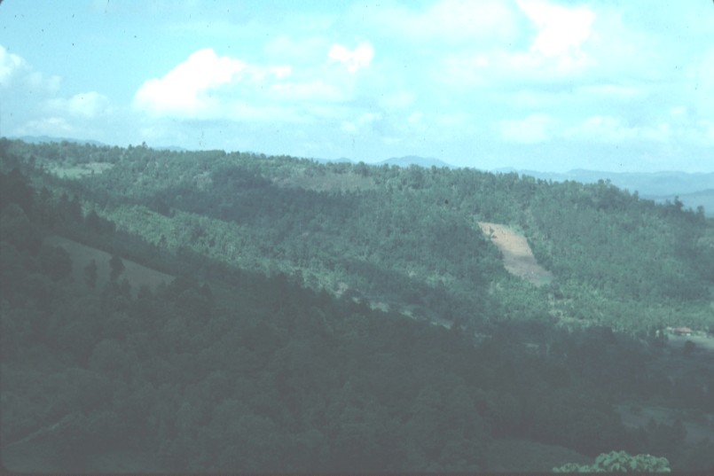
 1.
Slope cleared for planting west of El Pedregal
1.
Slope cleared for planting west of El PedregalGuacerique Basin: Mountains and quebradas
Photos taken late May of 1994
1.
Slope cleared for planting west of El Pedregal
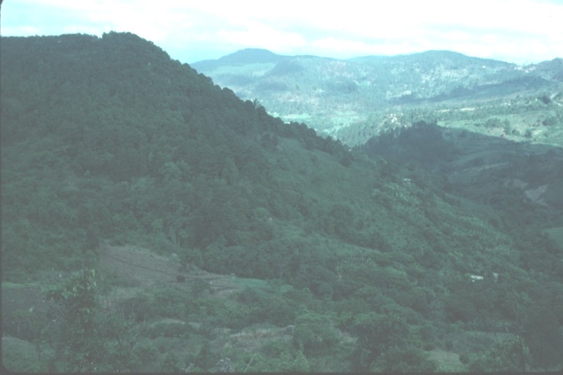
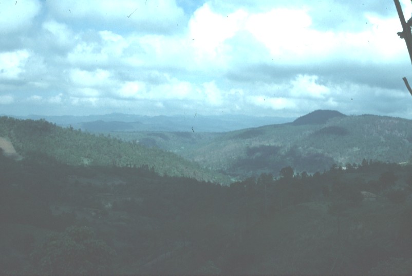 2.
View from high road in watershed. Location not well known.
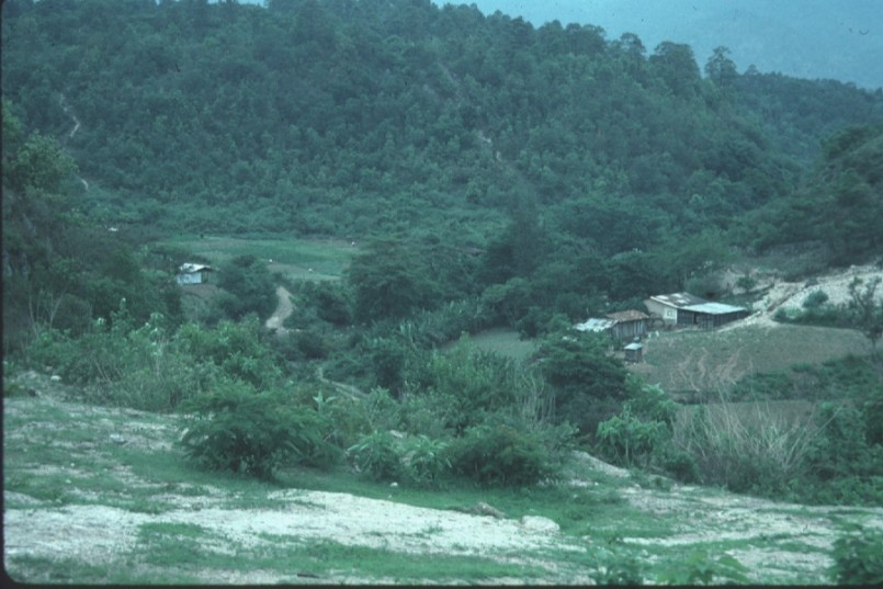
2.
View from high road in watershed. Location not well known.
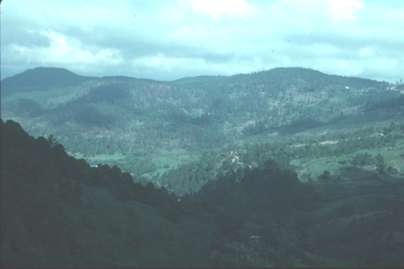
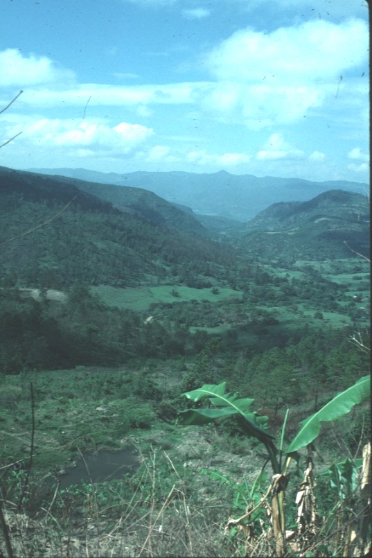 3.
View from high road in watershed, probably from near San Matias, toward
the southwest.
3.
View from high road in watershed, probably from near San Matias, toward
the southwest.
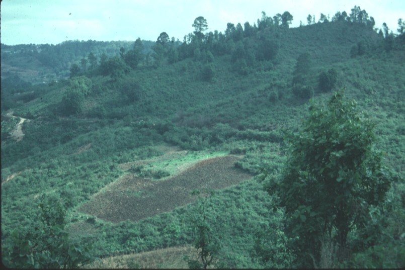 4.
Field on slope ready for planting.
4.
Field on slope ready for planting.
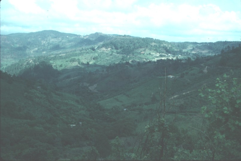
 5.
View from high road in watershed.
5.
View from high road in watershed.
 6.
View from high road in watershed.
6.
View from high road in watershed.
 7.
View from high road in watershed.
7.
View from high road in watershed.
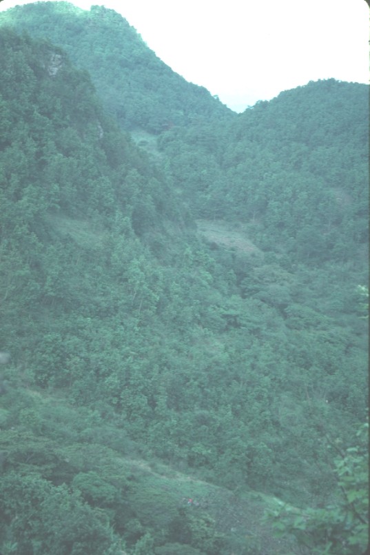 8.
Steep forested slopes in basin.
8.
Steep forested slopes in basin.
 9.
Bare rock exposed now that thin soil has eroded away.
9.
Bare rock exposed now that thin soil has eroded away.