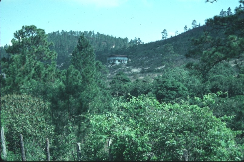
 1.
High slopes are popular sites for building nice homes.
1.
High slopes are popular sites for building nice homes.Human activities in the basin
Photos taken late May of 2002
1.
High slopes are popular sites for building nice homes.
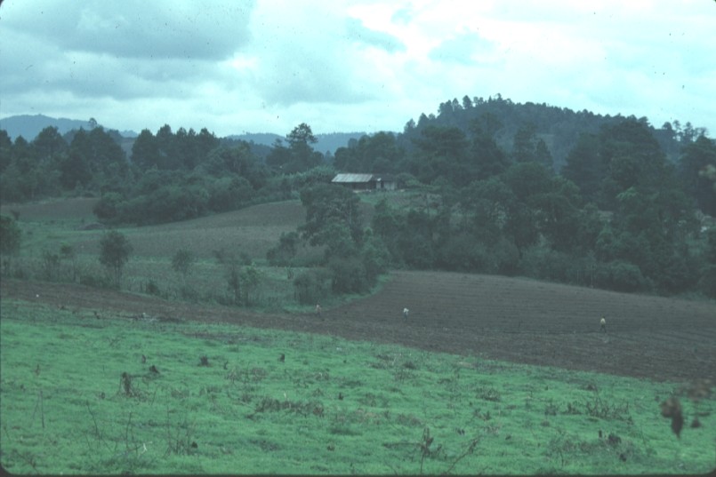
 2.
Fields prepared for planting, northern part of Guacerique watershed.
2.
Fields prepared for planting, northern part of Guacerique watershed.
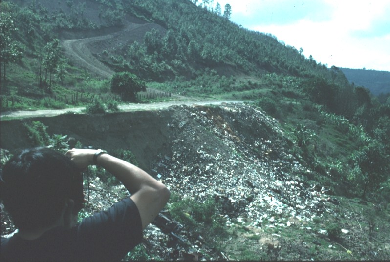 3.
Open dumping of trash and garbage is common throughout the basin, along roads
and in quebradas.
3.
Open dumping of trash and garbage is common throughout the basin, along roads
and in quebradas.
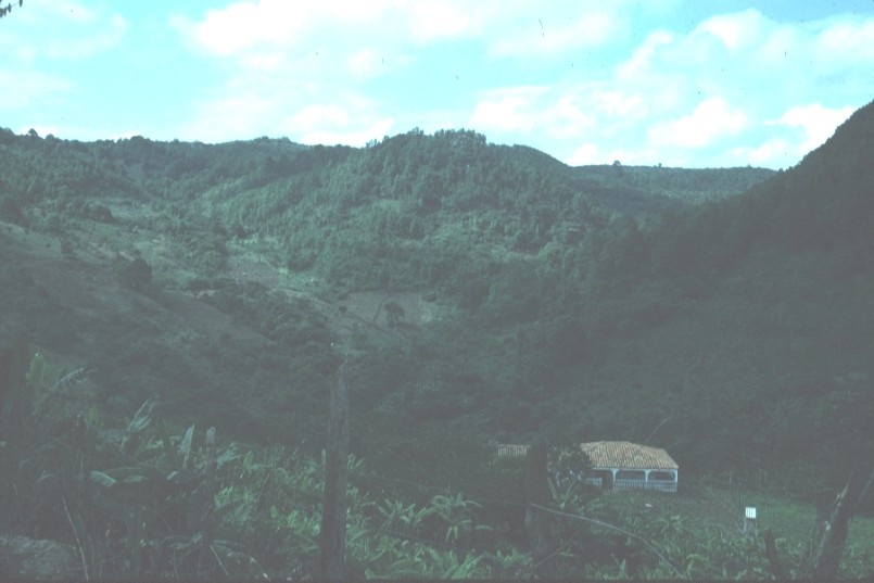
 4.
I think this is the village is in the southern part of the basin. It
appears that the quebrada on the opposite slope has stone walls terracing
part of the slope, providing level space for gardens.
4.
I think this is the village is in the southern part of the basin. It
appears that the quebrada on the opposite slope has stone walls terracing
part of the slope, providing level space for gardens.
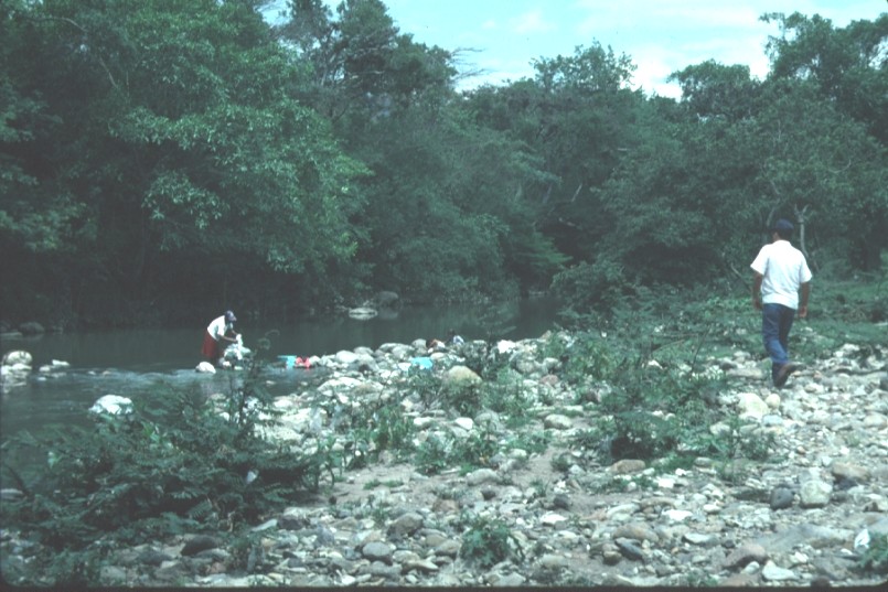 5.
Washday in the Río Guacerique. Large quantities of trash, mainly
plastic bottles and bags, litter the floodplain of the river.
5.
Washday in the Río Guacerique. Large quantities of trash, mainly
plastic bottles and bags, litter the floodplain of the river.
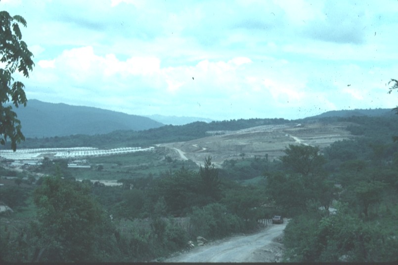 6.
Ciudad Mateo as seen from the road to Leparterique.
6.
Ciudad Mateo as seen from the road to Leparterique.
 7.
Ciudad Mateo again visible in the distance, from the road to Monte Redondo (talvez).
7.
Ciudad Mateo again visible in the distance, from the road to Monte Redondo (talvez).
 8.
Preparing the land with oxen and smoke from brush fires makes for hazy
conditions in the distance, from the road to Monte Redondo.
8.
Preparing the land with oxen and smoke from brush fires makes for hazy
conditions in the distance, from the road to Monte Redondo.
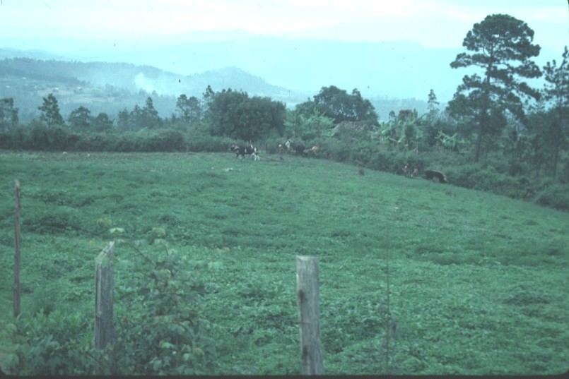
 9.
Same general area as photo #8, farmers are planting this field.
9.
Same general area as photo #8, farmers are planting this field.