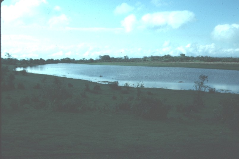
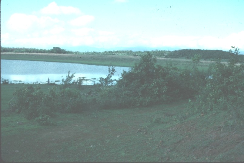
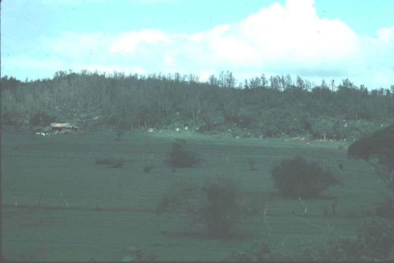
 1.
Laguna, looking northeast.
1.
Laguna, looking northeast.El Pedregal
Photos taken in late May of 1994 by Dr. Don Stierman
1.
Laguna, looking northeast.
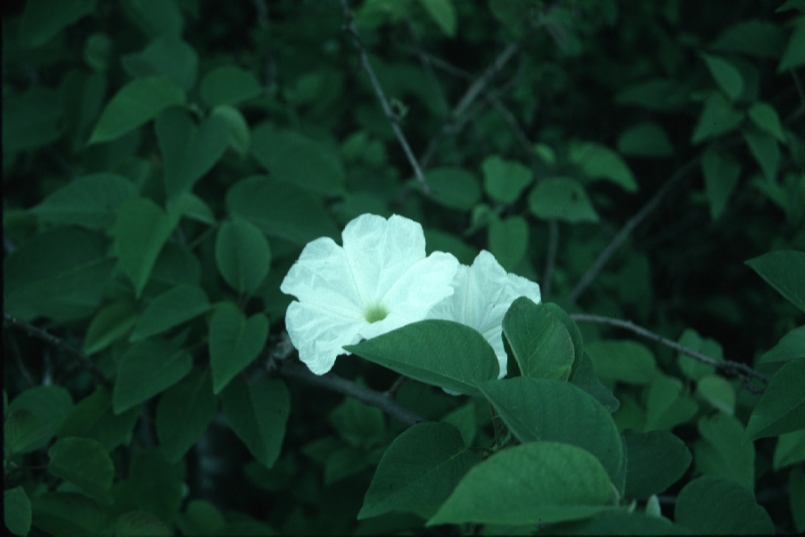 2.
Flower, water plants in laguna.
2.
Flower, water plants in laguna.
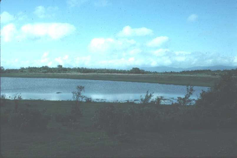
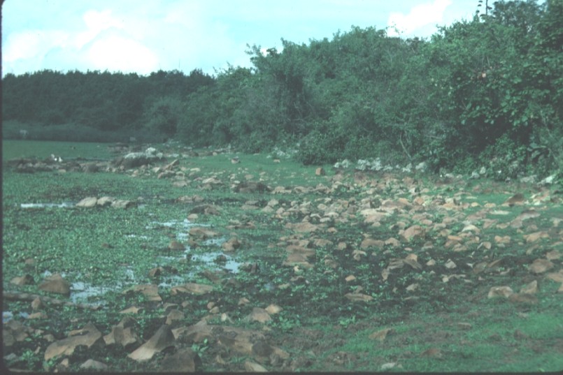
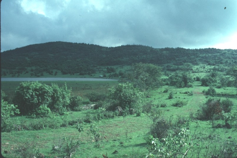 3.
Laguna, looking south.
3.
Laguna, looking south.
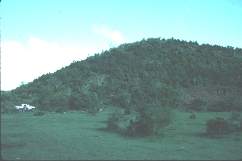
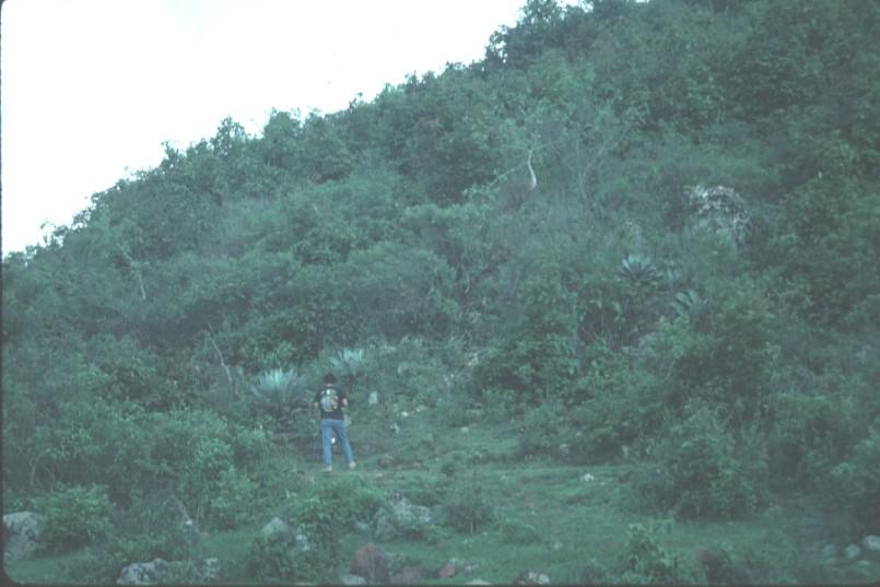 4.
Hill north of laguna.
4.
Hill north of laguna.
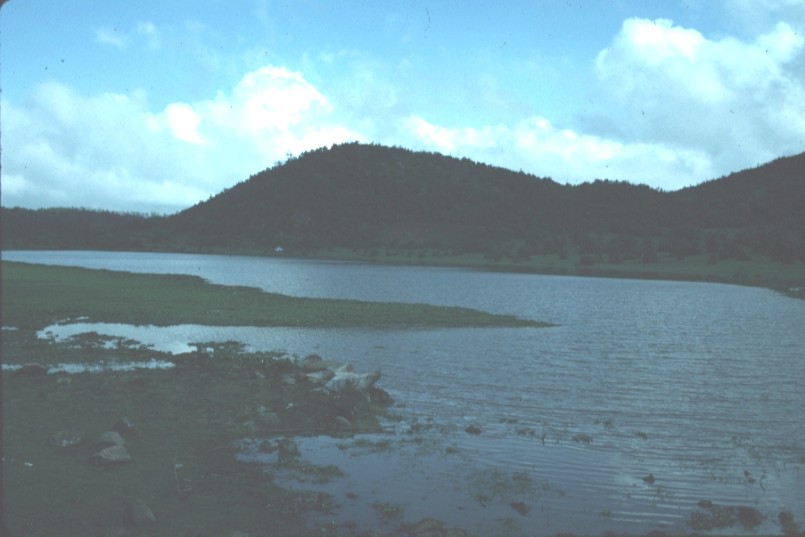
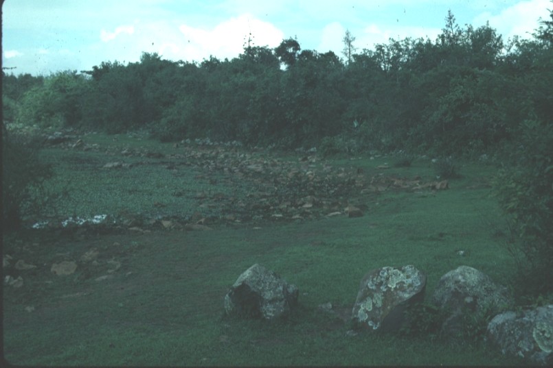
 5.
Laguna
5.
Laguna
 6.
Laguna
6.
Laguna
 7.
Hill
7.
Hill
 8.
Lagoon and hill, looking north.
8.
Lagoon and hill, looking north.
 9.
View west from road to laguna.
9.
View west from road to laguna.
 10.
Water is lower than normal. High-water marks indicated by shape of
shoreline, algae on rocks.
10.
Water is lower than normal. High-water marks indicated by shape of
shoreline, algae on rocks.
 11.
Another shot showing high-water mark.
11.
Another shot showing high-water mark.
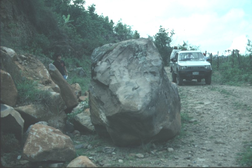 12.
Landslide of basaltic boulders almost block road to top of El Pedregal.
12.
Landslide of basaltic boulders almost block road to top of El Pedregal.
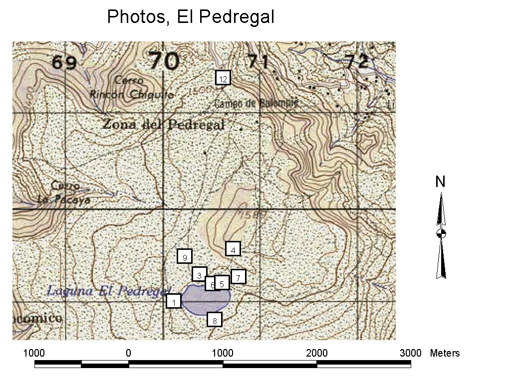 Map
showing locations from which these photographs were taken, to the best I can
remember. Match numbers of photos with numbered points on map.
Map
showing locations from which these photographs were taken, to the best I can
remember. Match numbers of photos with numbered points on map.